Rugged Terrain and Land Cover Data
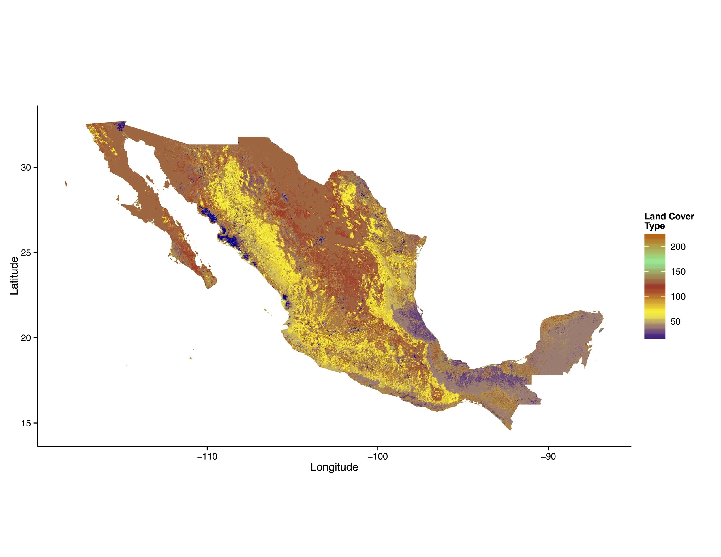
Existing arguments about the effect of terrain on intrastate and interstate violence are more varied than the data sources widely used to test such relationships. We introduce precise geo-referenced data on terrain ruggedness and land cover globally at the national, provincial, and 1×1 km grid-square levels. Accordingly, the data are readily applicable to a wide range of research designs, including cross-national, sub-national and single-country designs, as well as any study that uses geographic information system data. A full description of this data and demonstration of its utility are contained in the Conflict Management and Peace Science article referenced below.
Thet terrain ruggedness and land cover data can be accessed here.
CITATION: